Integrated Transport Action Plan (ITAP)

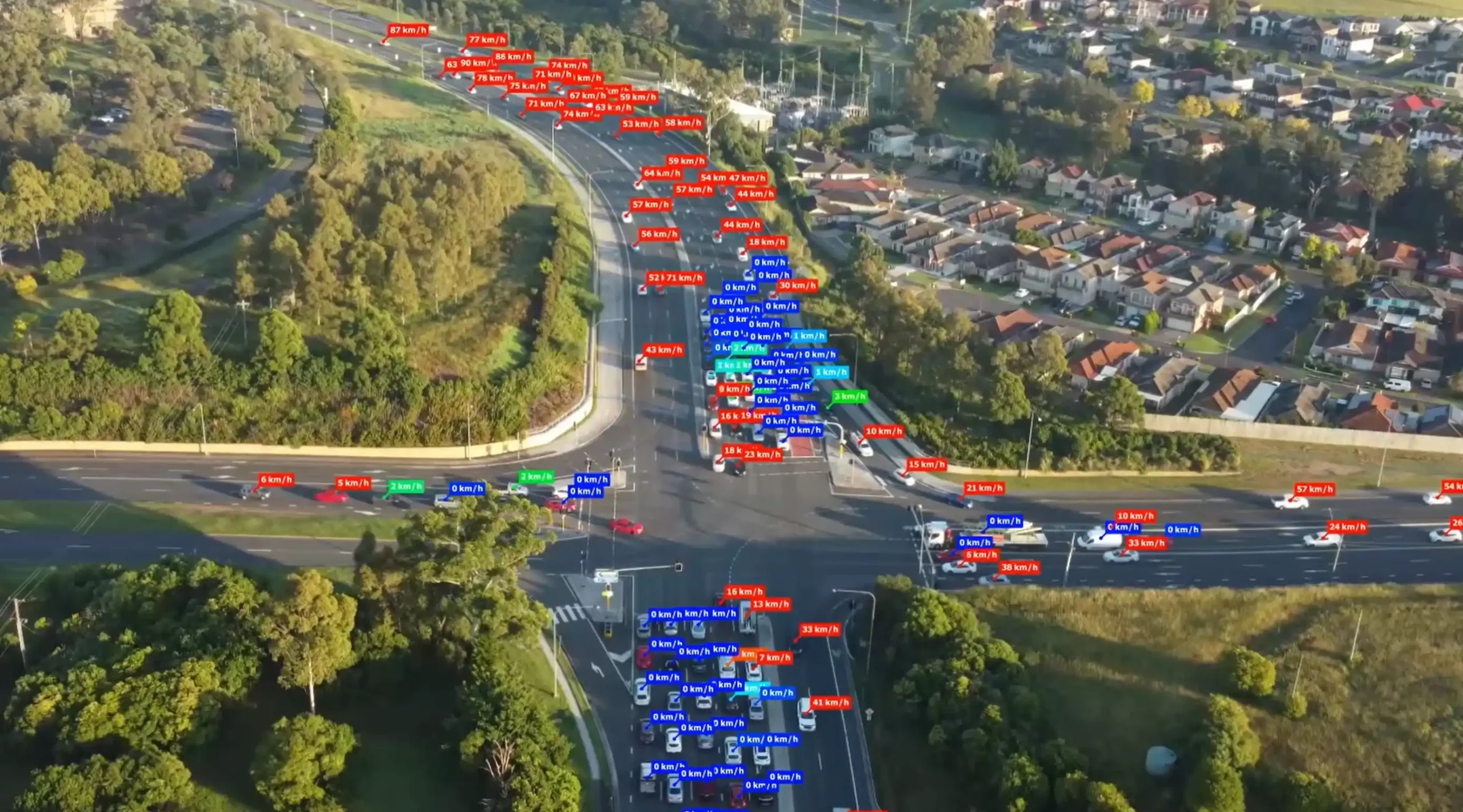
Ason Group was engaged by TfNSW to undertake multiple ITAP assessments including over 30 intersections and corridors across a range of locations in NSW. Ason Group proposed and successfully implemented the use of drone technology to record intersection operations and deliver a greater level of traffic movement insights not previously achieved in the ITAP process. This data was supplemented with SCATS, Compass IoT and TomTom data to provide robust calibration of intersection operation.

The results of the project were reported in dynamic dashboards using Tableau and issued to TfNSW in digital format as opposed to the traditional document output, enabling continued use by the agency in the optimisation of the road network.

The successful implementation has led to ongoing engagements with TfNSW to deliver this level of analytics across further locations within both NSW and QLD.

Integrated Transport Action Plans (ITAP) provide the evidence base and traffic modelling required by TfNSW and other stakeholders to review and assess key areas of congestion and the efficacy of road network improvements.
Our work included

  • Coordination of traffic surveys and drone surveys.
  • Data cleansing and transformation of various data sets to enable comparison between pre-COVID and current traffic volumes and performance.
  • Video and data analytics to identify and track individual vehicle movements, pedestrian behaviour, and trace desire lines.
  • Travel time analysis using GPS data to generate heat maps and identify road network pain points and areas of focus.
  • Intersection modelling and network modelling.
  • Data visualisation using Tableau to create dashboards for stakeholder communication.

Similar Projects

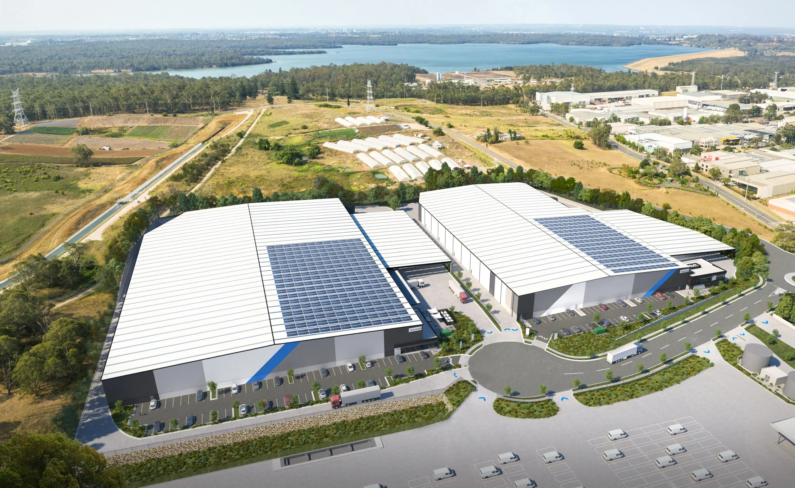
Ason Group has been involved in the development assessment of numerous Goodman assets throughout the Western Sydney Employment Area (WSEA), including Oakdale Central, Oakdale South, Oakdale East and Oakdale West Industrial Estates. In support of the Construction Environmental Management Plan (CEMP) for Oakdale West, Ason Group was tasked to prepare

View Details

Oakdale West Precinct

The University of Wollongong routinely undertakes data collection surveys at their Wollongong campus and surrounds. This includes parking occupancy surveys and headcount surveys to monitor the distribution and intensity of parking demand, and movement of pedestrians, cyclists, and vehicles throughout the campus. Ason Group was invited in 2023 to lead

View Details

University of Wollongong (UoW) Transport Surveys 

Ason Group has been engaged to undertake Traffic Modelling Assessment as a part of Transport Management & Accessibility Plan (TMAP) in support of the State Significant Development Application (SSDA) proposal for an industrial warehouse development at 1-3 Burrows Road, St Peters. Traffic Modelling Assessment was prepared to address the relevant

View Details

Burrows Road Traffic Modelling Assessment