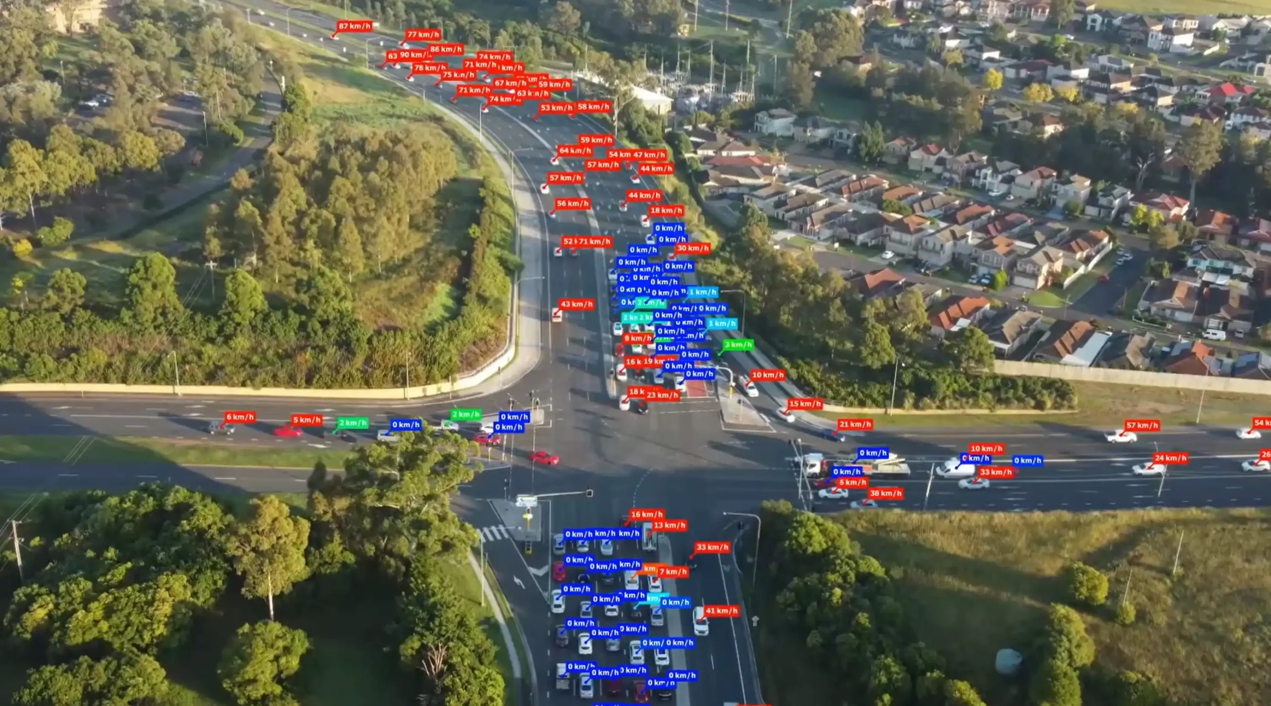
Ason Group was engaged by TfNSW to undertake multiple ITAP assessments including over 30 intersections and corridors across a range of locations in NSW. Ason Group proposed and successfully implemented the use of drone technology to record intersection operations and deliver a greater level of traffic movement insights not previously achieved in the ITAP process. This data was supplemented with SCATS, Compass IoT and TomTom data to provide robust calibration of intersection operation.
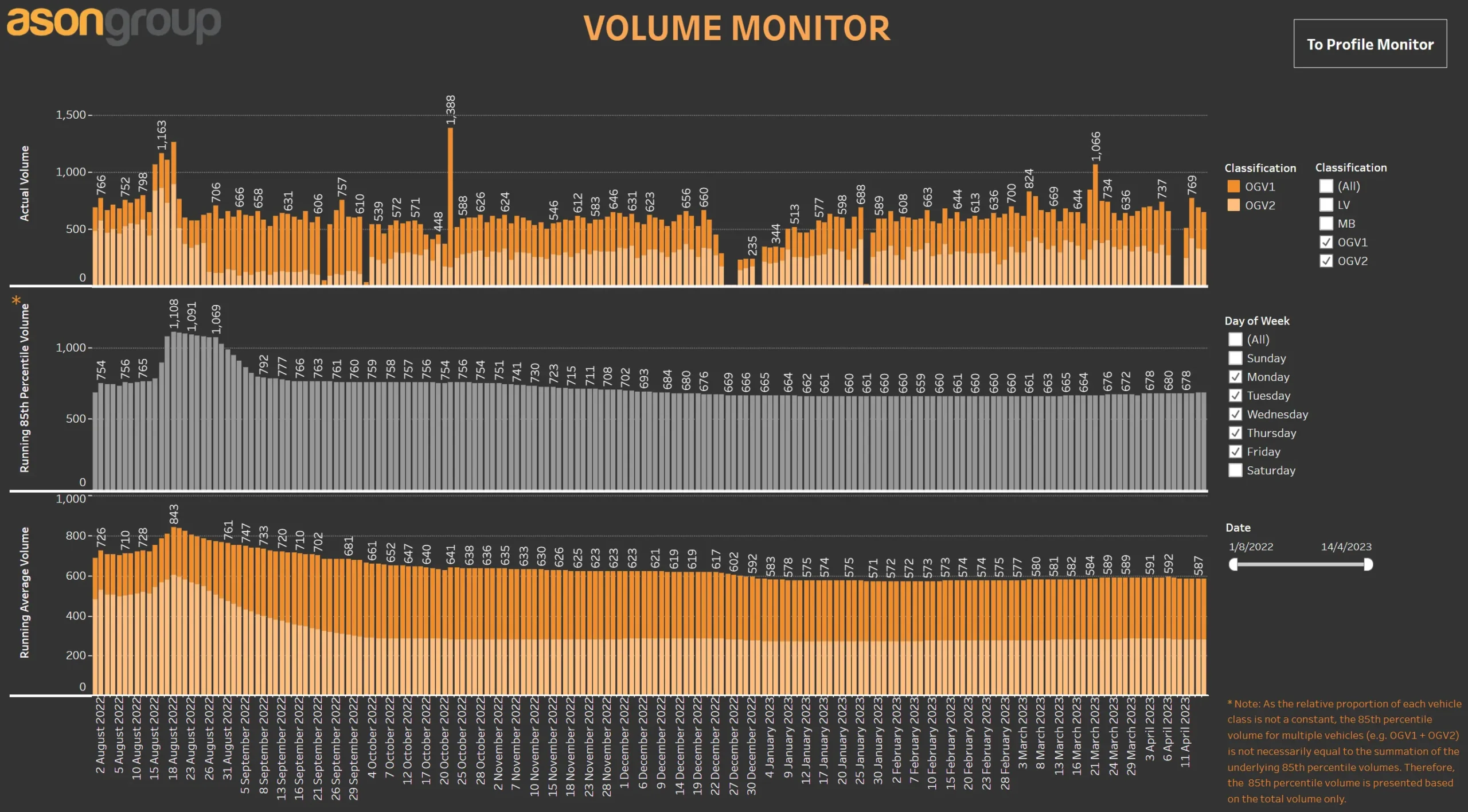
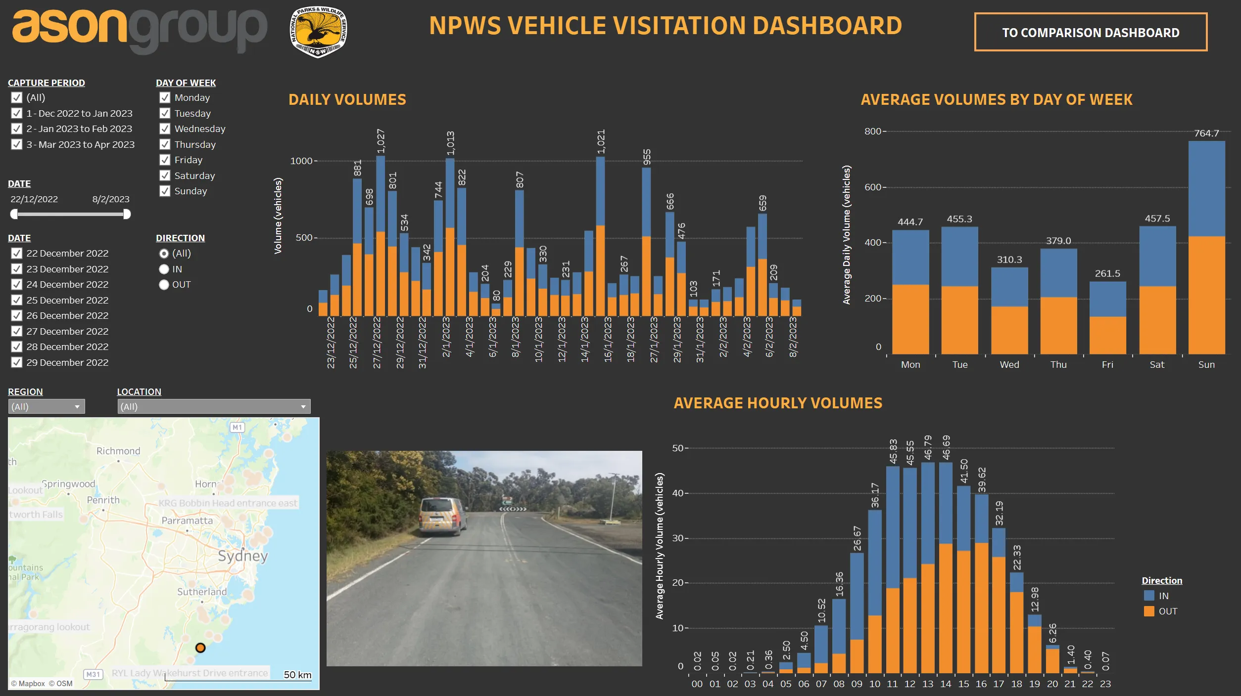
The results of the project were reported in dynamic dashboards using Tableau and issued to TfNSW in digital format as opposed to the traditional document output, enabling continued use by the agency in the optimisation of the road network.
The successful implementation has led to ongoing engagements with TfNSW to deliver this level of analytics across further locations within both NSW and QLD.
Integrated Transport Action Plans (ITAP) provide the evidence base and traffic modelling required by TfNSW and other stakeholders to review and assess key areas of congestion and the efficacy of road network improvements.


