Port Botany & Foreshore Drive Aimsun Model

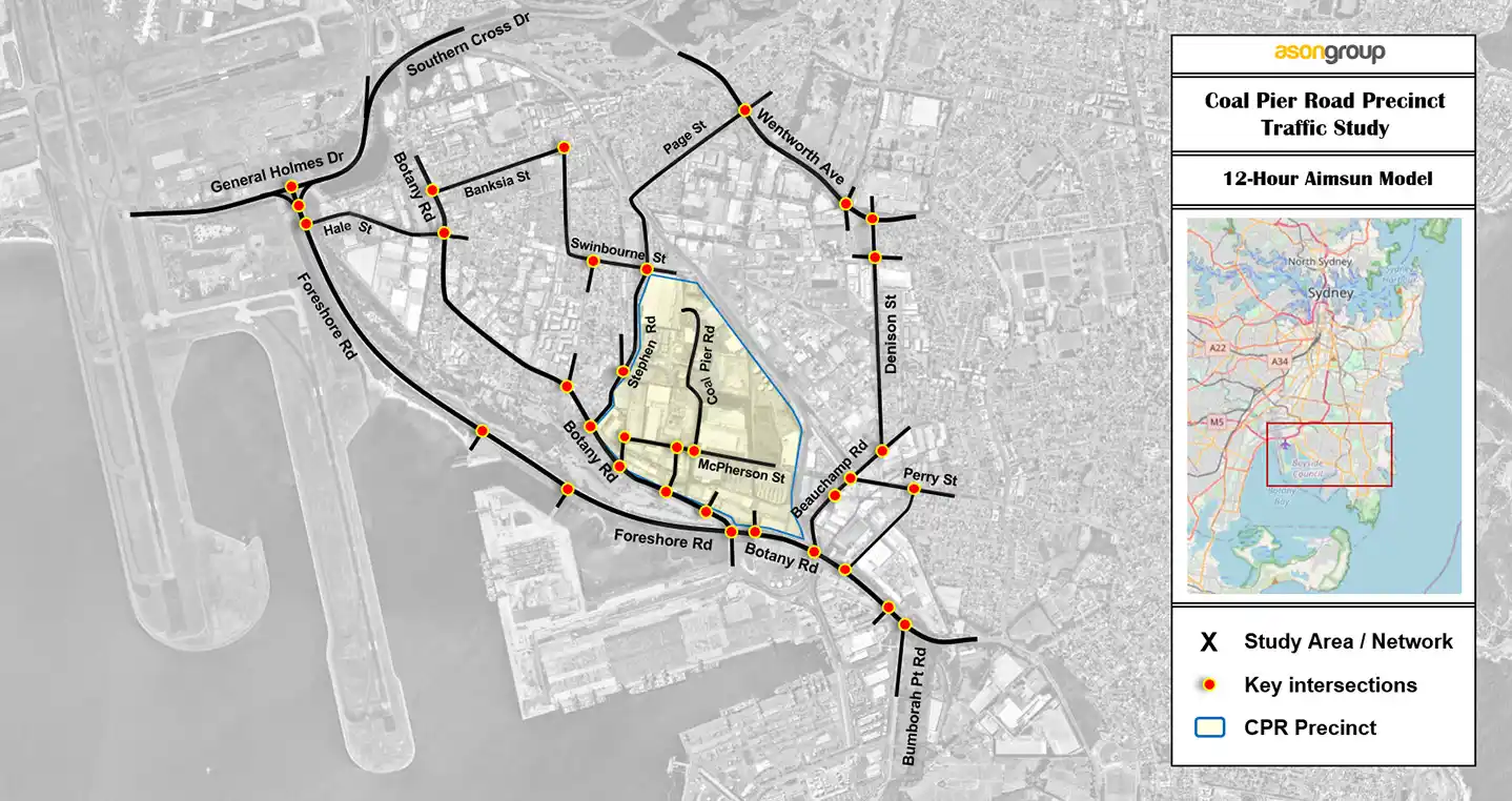
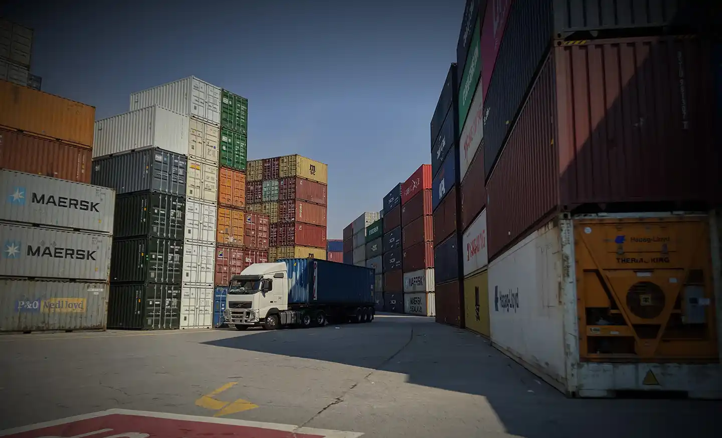
Port Botany in Banksmeadow is Australia’s primary port for bulk liquid and gas and is home to New South Wales largest container facility.  Ason Group was commissioned to prepare a 12-hour Aimsun microsimulation model for Coal Pier Road Industrial Precinct located in the vicinity of Port Botany.

Freight movements are of particular interest for existing and future network planning.  TfNSW investigated multiple “upgrade” options for a sustainable future, with a primary focus on Botany Road and Foreshore Road corridors.  This model enables future development impact assessment and option testing under multiple upgrade scenarios.

Our work included

  • Review demographics, socio-economic data, land-use and transport networks in Banksmeadow.
  • Identify the origin and destination existing trips, local and passing traffic and review existing road network performance.
  • Collate extensive traffic survey and mobile data for the traffic model development.
  • Develop a calibrated and validated 12-hour microsimulation model in Aimsun.
  • Support public sector to review road upgrade options and inform economic, financial analysis and planning for the gateway reviews.

Similar Projects

The Mamre Road Precinct (MRP) forms part of the Western Sydney Employment Area (WSEA) and Aerotropolis was rezoned in June 2020 to permit industrial land uses across approximately 850 hectares of land and over 3.5 million square metres. Ason Group was engaged to work with key stakeholders including Transport for

View Details

Mamre Road Precinct – Road Network Assessment

Ason Group was originally commissioned in 2017 to undertake the development assessment of the Master Plan for 45-61 Waterloo Road Macquarie Park, providing for some 117,000m2 of commercial GFA.Subsequently we have also been commissioned to provide Transport Assessments for the first 3 buildings, including Building C (now known as “The

View Details

Waterloo Road

Ason Group was engaged by Haben Property Fund to prepare a Traffic Impact Assessment to support a Planning Proposal for a mixed-use development at 33-43 Phillip Street, St Marys. Further to a proposed amendment to existing FSR provisions, the Site provides an indicative yield of: 584 residential units. 2,200m² GFA

View Details

Station Plaza St Marys