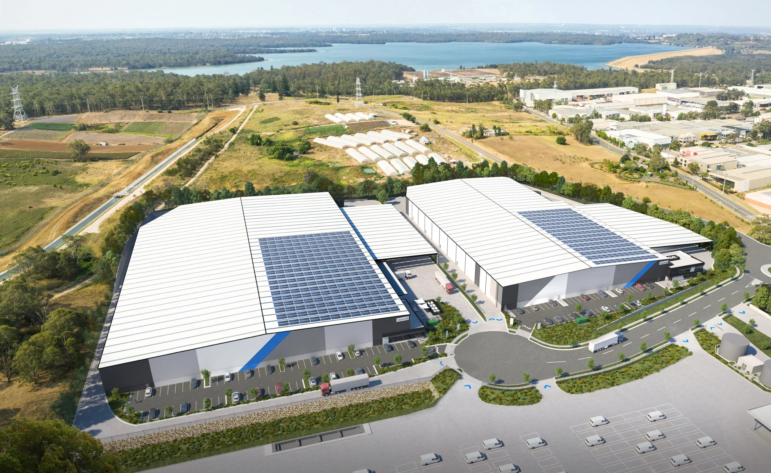
Survey using Unmanned Aerial Vehicles (Drone) and TomTom GPS.
Real-time traffic data and impact forecasts.
Survey using Unmanned Aerial Vehicles (Drone) and TomTom GPS.
Real-time traffic data and impact forecasts.
Ason Group was engaged to undertake the capacity analysis and assess the operational performance of the current and proposed design in terms of Level of Service provided to pedestrian circulation on the block and adjacent streets in Sydney CBD. The Legion pedestrian model was developed to perform virtual experiments on
Ason Group was engaged by Haben Property Fund to prepare a Traffic Impact Assessment to support a Planning Proposal for a mixed-use development at 33-43 Phillip Street, St Marys. Further to a proposed amendment to existing FSR provisions, the Site provides an indicative yield of: 584 residential units. 2,200m² GFA
Ason Group has been engaged to undertake traffic modelling works to support the proposed upgrade of the Swan Hill/ Murray River Road bridge. The bridge provides a key crossing opportunity across the Murray River and services agricultural freight routes between NSW and Victoria. It also operates as a lift span