Mamre Road Precinct – Road Network Assessment

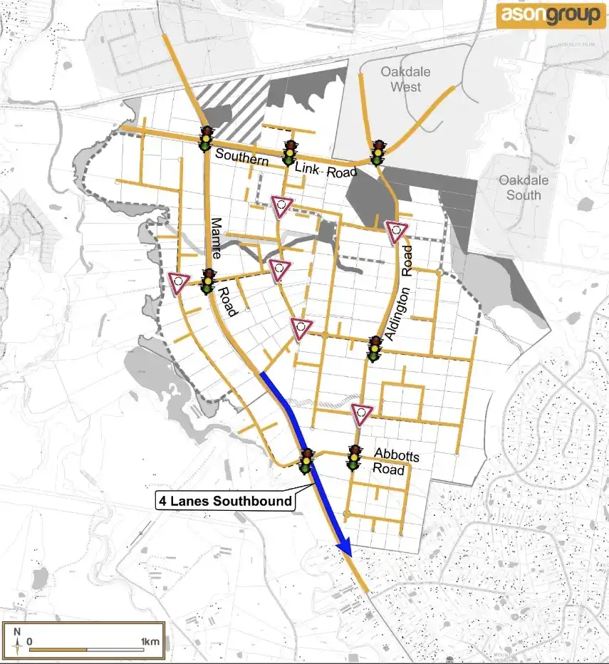
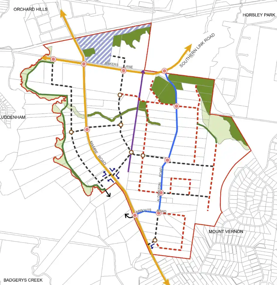
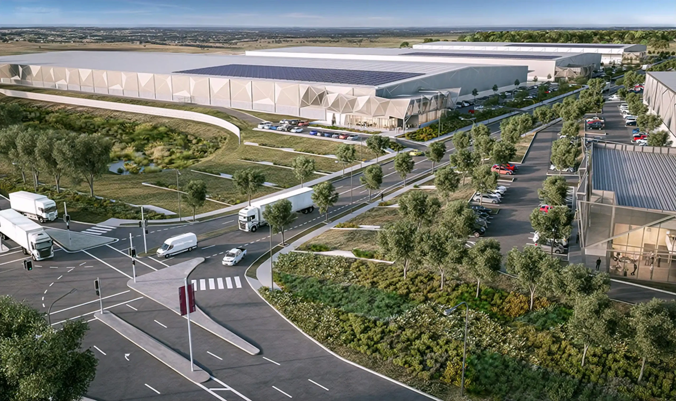
The Mamre Road Precinct (MRP) forms part of the Western Sydney Employment Area (WSEA) and Aerotropolis was rezoned in June 2020 to permit industrial land uses across approximately 850 hectares of land and over 3.5 million square metres.

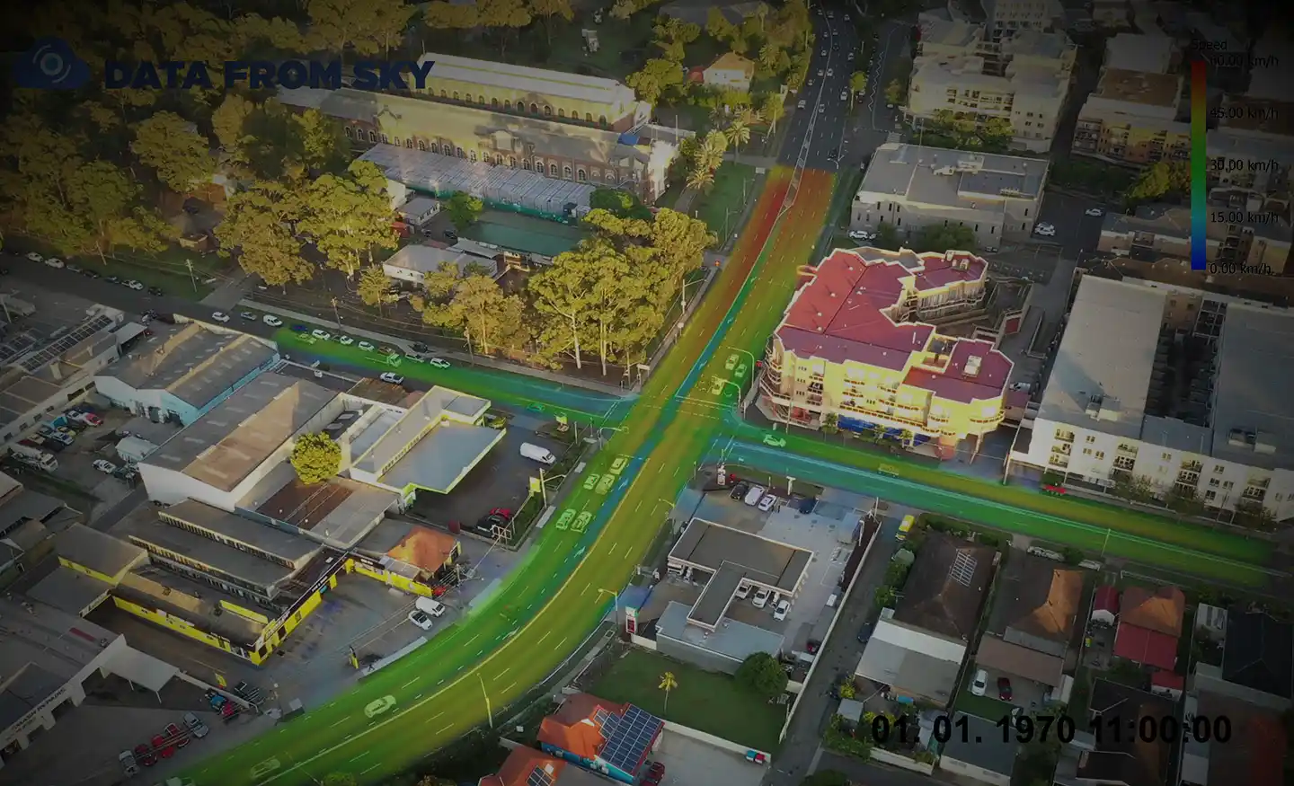
Ason Group was engaged to work with key stakeholders including Transport for NSW (TfNSW), the Department of Planning Industry and Environment (DPIE) to formulate a road network plan to accommodate the future demands of the precinct which included up to 100,000 vehicles per day and the development of a future Intermodal Terminal.  

This includes the development of a mesoscopic and microscopic hybrid Aimsun model to test varying land use and network options for a 2026, 2031 and 2036 horizon years as well as detailed site master planning across the precinct.  

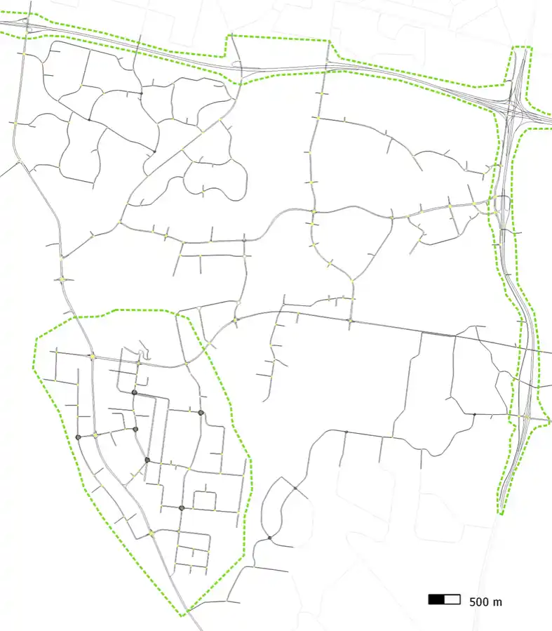
A review of existing movement patterns within Western Sydney to establish future project demand.

Our work included

  • Prepared in house Land-Use-Development (LUD) model to estimate the precincts' trip generation / attraction.
  • Develop, calibrate and validate the mesoscopic - microscopic 'Hybrid' model in Aimsun of the MRP and surrounding WSEA.
  • Develop, test and refine, a road network that will enable development of the precinct to full Project capacity whilst maintaining safe and efficient access for all users. 
  • Carry out numerous geometric scenarios assessment for 2026, 2031 and 2036 horizon years including both funded and planned infrastructure.
  • Develop travel demand management (TDM) strategy to reduce travel demand and redistribute the traffic in horizon years.
  • Support public sector to review Draft DCP for Mamre Road Precinct, based on appropriate level of through traffic capacity and staged upgrades.   
  • Provide advice on better connectivity between the precinct and other parts of the Western Sydney Employment Area. 
  • Master planning and SSDA input advice. 
  • Construction management strategies.  

Similar Projects

Ason Group has assisted throughout the St Leonards Health Organisation Relocation (SHOR) project, located within the Royal North Shore Hospital Precinct. The project was a State Significant Development and approval was therefore provided by the Department of Planning, Industry and Environment. The SHOR project, which is nearing completion, provides for:

View Details

St Leonards Health Organisation Relocation Project

The Oakdale Estate is strategically located across both Kemps Creek and Eastern Creek and forms part of the Western Sydney Employment Area lands . Ason Group has been involved in the project since 2014 and has prepared the necessary assessments relating to the Major Project and site specific Development Applications

View Details

Oakdale Estate Industrial Precinct

Ason Group was engaged by TfNSW to investigate the Southern Link Road (SLR) design and upgrade options to carry out the concept design, environmental assessment, detailed design and staging for SLR. The concept design has been divided into three stages. Stage 1 connects Mamre Road to Compass Drive Stage 2

View Details

Southern Link Road Corridor Concept Design