Victoria Road Corridor Analysis

Survey using Unmanned Aerial Vehicles (Drone) and TomTom GPS.

Real-time traffic data and impact forecasts.

Our work included

  • Telemetric data processing by Artificial Intelligence, including Operational Data (e.g. turn counts, queue length, signal phasing / timing, origin-destination) and Dynamic Behavioural Data (e.g. speed profile, acceleration, weaving, gap acceptance, headways, reaction time, lane utilisation, merging and diverting).
  • High quality video / images to demonstrate interaction amongst road users.
  • Calibration of traffic operation models.
  • Pinch point corridor analysis and speed profiles using historical data.

Similar Projects

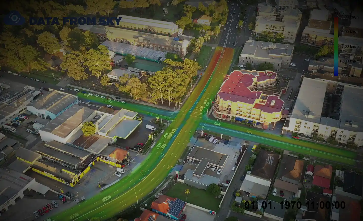
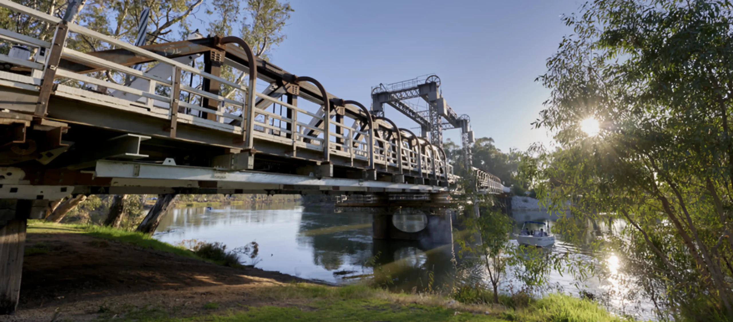
Ason Group has been engaged to undertake traffic modelling works to support the proposed upgrade of the Swan Hill/ Murray River Road bridge. The bridge provides a key crossing opportunity across the Murray River and services agricultural freight routes between NSW and Victoria. It also operates as a lift span

View Details

Swan Hill Bridge Upgrade Traffic Study

Ason Group was engaged to undertake the capacity analysis and assess the operational performance of the current and proposed design in terms of Level of Service provided to pedestrian circulation on the block and adjacent streets in Sydney CBD. The Legion pedestrian model was developed to perform virtual experiments on

View Details

Pitt Street Modelling

Port Botany in Banksmeadow is Australia’s primary port for bulk liquid and gas and is home to New South Wales largest container facility. Ason Group was commissioned to prepare a 12-hour Aimsun microsimulation model for Coal Pier Road Industrial Precinct located in the vicinity of Port Botany. Freight movements are

View Details

Port Botany & Foreshore Drive Aimsun Model