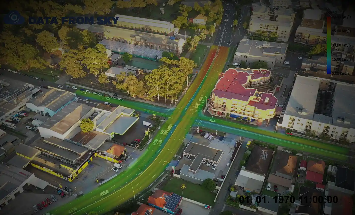
Survey using Unmanned Aerial Vehicles (Drone) and TomTom GPS.
Real-time traffic data and impact forecasts.
Survey using Unmanned Aerial Vehicles (Drone) and TomTom GPS.
Real-time traffic data and impact forecasts.
The Mamre Road Precinct (MRP) forms part of the Western Sydney Employment Area (WSEA) and Aerotropolis was rezoned in June 2020 to permit industrial land uses across approximately 850 hectares of land and over 3.5 million square metres. Ason Group was engaged to work with key stakeholders including Transport for
Ason Group was commissioned to prepare a Transport Management & Accessibility Plan (TMAP) in support of a Planning Proposal at 26 Kissing Point Road and 266 Victoria Road, Parramatta. The Planning Proposal provides for: 2,700 new dwellings. 5,000m2 of retail and commercial floor space. Community facilities, including open space, accessible
Ason Group was engaged by TfNSW to investigate the Southern Link Road (SLR) design and upgrade options to carry out the concept design, environmental assessment, detailed design and staging for SLR. The concept design has been divided into three stages. Stage 1 connects Mamre Road to Compass Drive Stage 2