Ivanhoe Estate Masterplan

The Master Plan

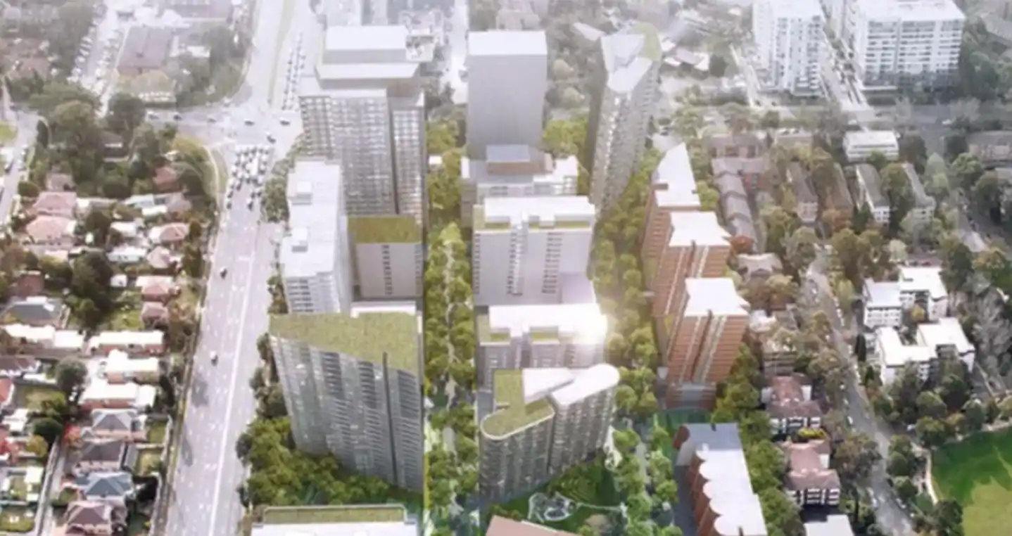
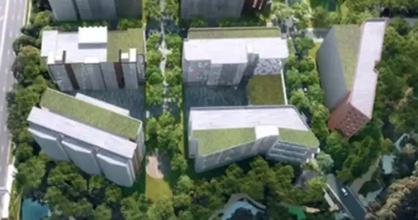
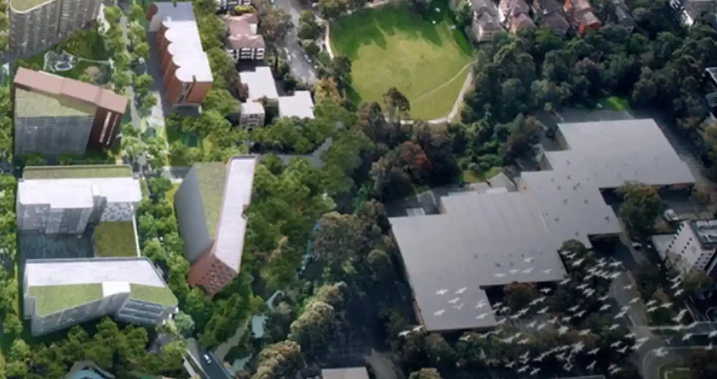
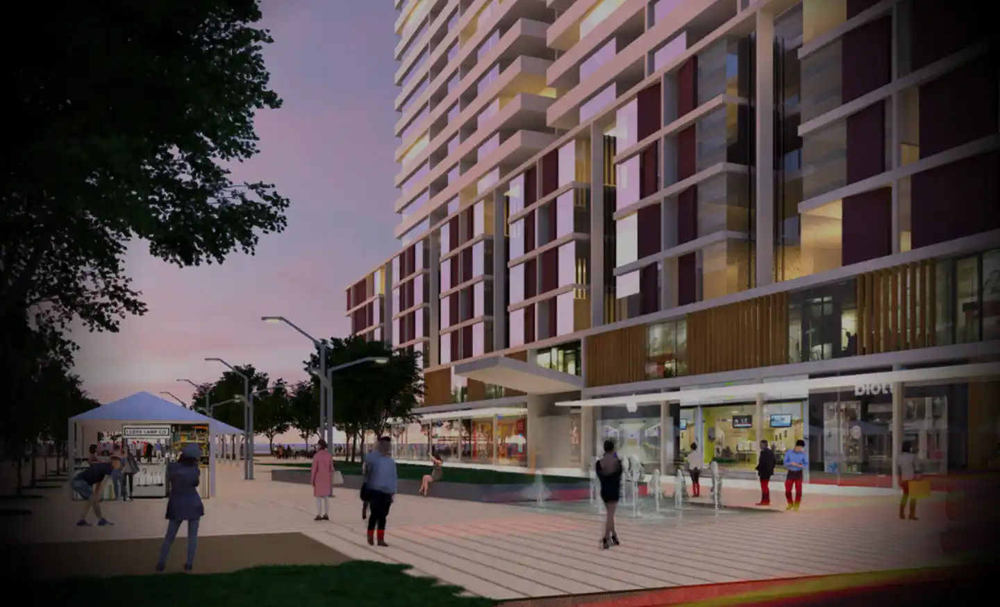
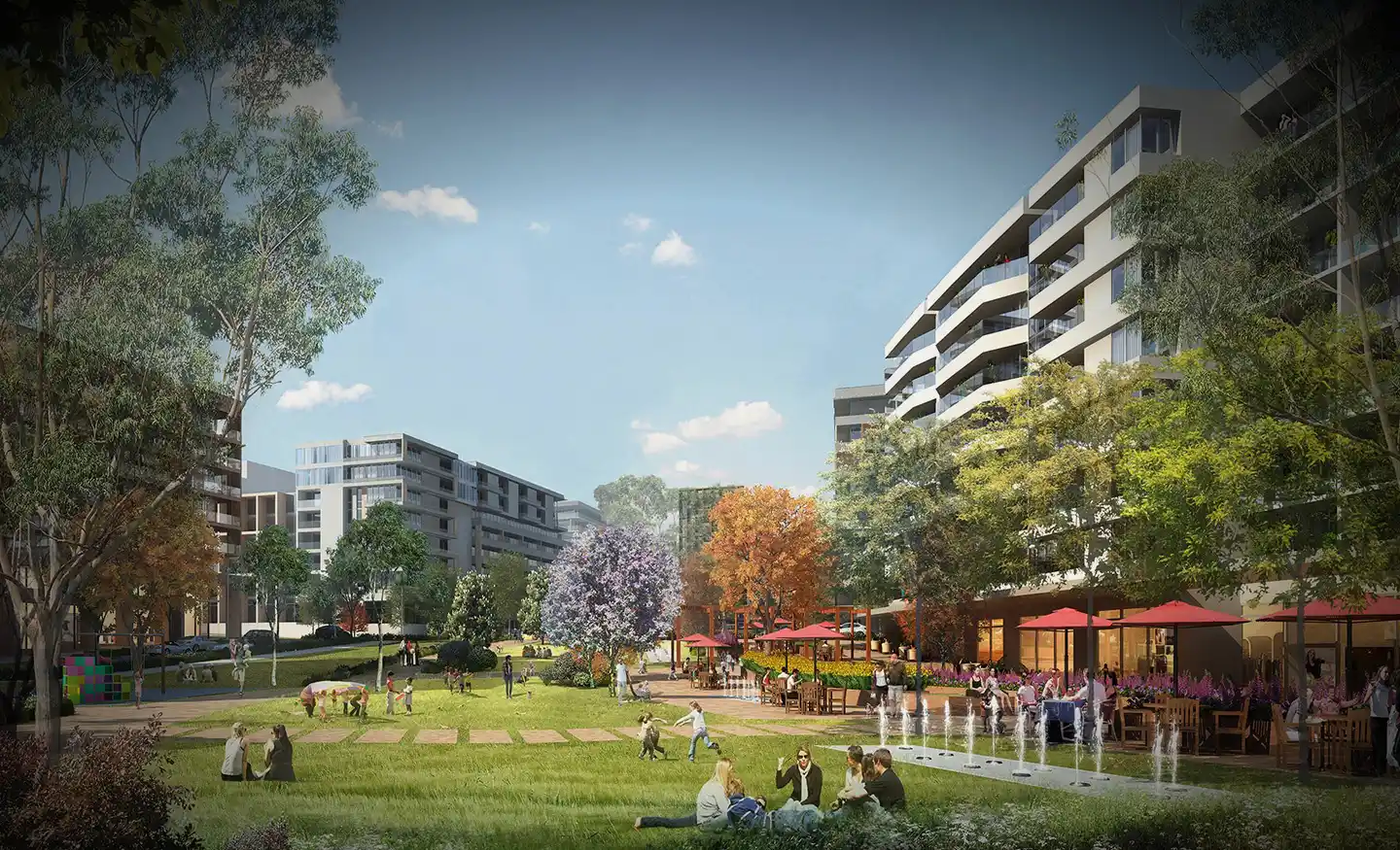
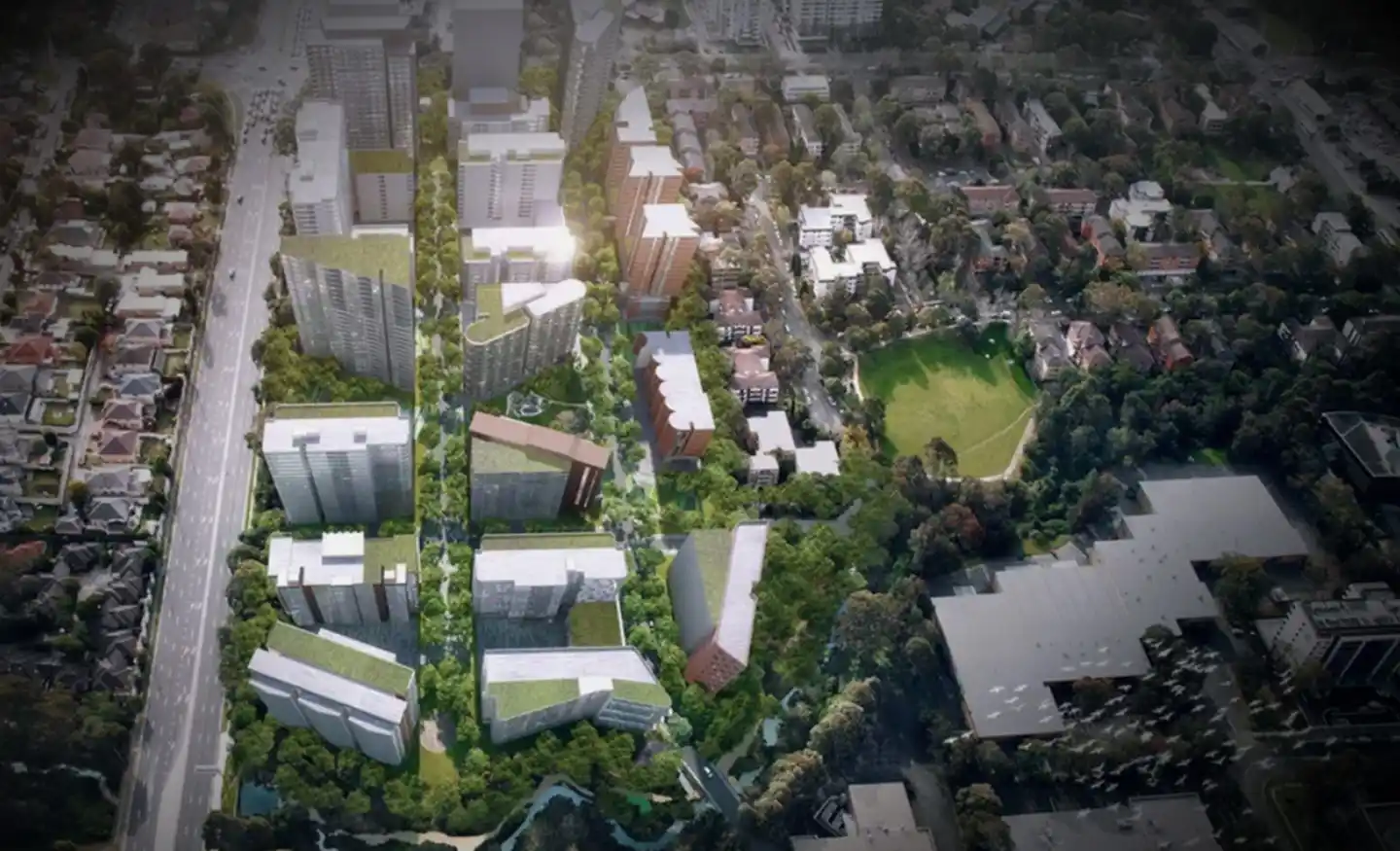
Ason Group was engaged by Frasers to assist in its bid and subsequent masterplan development of the Ivanhoe Estate, Macquarie Park. The development is Australia’s largest integrated housing project.

The Project included

3,300 new dwellings including 1,078 social and affordable units.

Provision for a new school, child care and community facilities.

New vehicular and pedestrian connection to Lyon Park Road.

Signalisation of the Herring Road with Ivanhoe Place.

Strategic Transport Modelling of existing and future traffic flows under varying development and infrastructure scenarios using Aimsun modelling software.

Our work included

  • Identification of opportunities and constraints during the “Bid” phase.
  • Demand forecast analysis of trips by mode and purpose.
  • Site access and management strategy.
  • Technical design of the road and active transport network.
  • Public transport capacity assessment.
  • Pedestrian modelling focusing on the movement of pedestrian between the Site and Macquarie Park station, and the capacity of pedestrian infrastructure to accommodate peak pedestrian demands.
  • Consideration of Movement & Place within the broader Macquarie Park precinct. Development of a supporting Transport Management and Accessibility Plan with associated Aimsun modelling.
  • Liaison and consultation with all key agencies and stakeholders, including Ryde City Council, RMS, Transport for NSW and Department of Planning & Environment.

Similar Projects

Project EOS refers to a proposed data centre that is currently being developed by Goodman located in Artarmon. The site provisions for: 80MVA power capacity 33 at-grade car parking spaces 2 loading docks 5 levels of technical data hall floor space Ason Group assisted Goodman in preparing a Transport Accessibility

View Details

Artarmon Data Centre (Project EOS)

Ason Group has been engaged to undertake Traffic Modelling Assessment as a part of Transport Management & Accessibility Plan (TMAP) in support of the State Significant Development Application (SSDA) proposal for an industrial warehouse development at 1-3 Burrows Road, St Peters. Traffic Modelling Assessment was prepared to address the relevant

View Details

Burrows Road Traffic Modelling Assessment

The Mamre Road Precinct (MRP) forms part of the Western Sydney Employment Area (WSEA) and Aerotropolis was rezoned in June 2020 to permit industrial land uses across approximately 850 hectares of land and over 3.5 million square metres. Ason Group was engaged to work with key stakeholders including Transport for

View Details

Mamre Road Precinct – Road Network Assessment