FACS

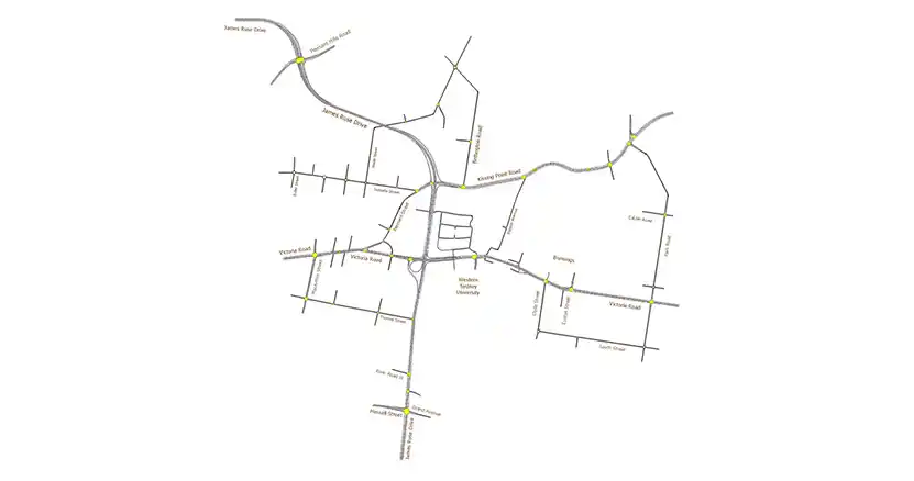
Ason Group was commissioned to prepare a Transport Management & Accessibility Plan (TMAP) in support of a Planning Proposal at 26 Kissing Point Road and 266 Victoria Road, Parramatta.

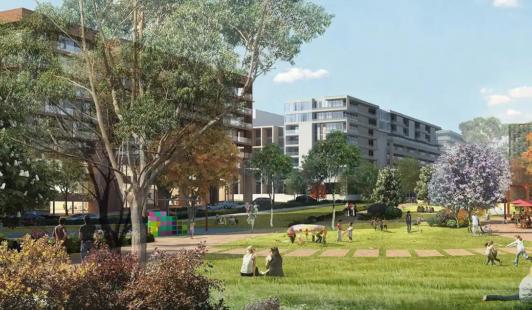
The Planning Proposal provides for:

  • 2,700 new dwellings.
  • 5,000m2 of retail and commercial floor space.
  • Community facilities, including open space, accessible bushland reserve.

Our work included

  • The development of an Aimsun model in line with RMS Traffic Modelling Guidelines, including Base Model development, calibration and validation. Subsequent Option Testing included various access and land use scenarios, including the provision of a new secondary school.
  • Demand analysis of the precinct including possible light rail options.
  • Data collection including traffic, travel time and Origin-Destination surveys.
  • Detailed assessment of available internal and external access options, in a network constrained by existing grade-separated junctions.
  • Consultation with the Transport for NSW throughout the assessment, including the Parramatta Light Rail team.

Similar Projects

At 240 hectares, ESR’s Moorebank Intermodal Precinct is Australia’s largest intermodal facility. Conveniently located on Moorebank Avenue 1 kilometre south of the M5 Motorway interchange, the facility is ideally situated for the distribution of goods both regionally and nationally via the road and rail networks. Due to its favourable location

View Details

Moorebank Intermodal Precint

Survey using Unmanned Aerial Vehicles (Drone) and TomTom GPS. Real-time traffic data and impact forecasts.

View Details

Victoria Road Corridor Analysis

Ason Group was engaged by Haben Property Fund to prepare a Traffic Impact Assessment to support a Planning Proposal for a mixed-use development at 33-43 Phillip Street, St Marys. Further to a proposed amendment to existing FSR provisions, the Site provides an indicative yield of: 584 residential units. 2,200m² GFA

View Details

Station Plaza St Marys